Diversion of Olentangy River


Basic details
Diversion of Olentangy River is an image, with genre photograph.
Its dimensions are 8 in. x 10 in..
It was created sometime in 1967.
City of Worthington is the creator.
You can find the original at City of Worthington.
Background
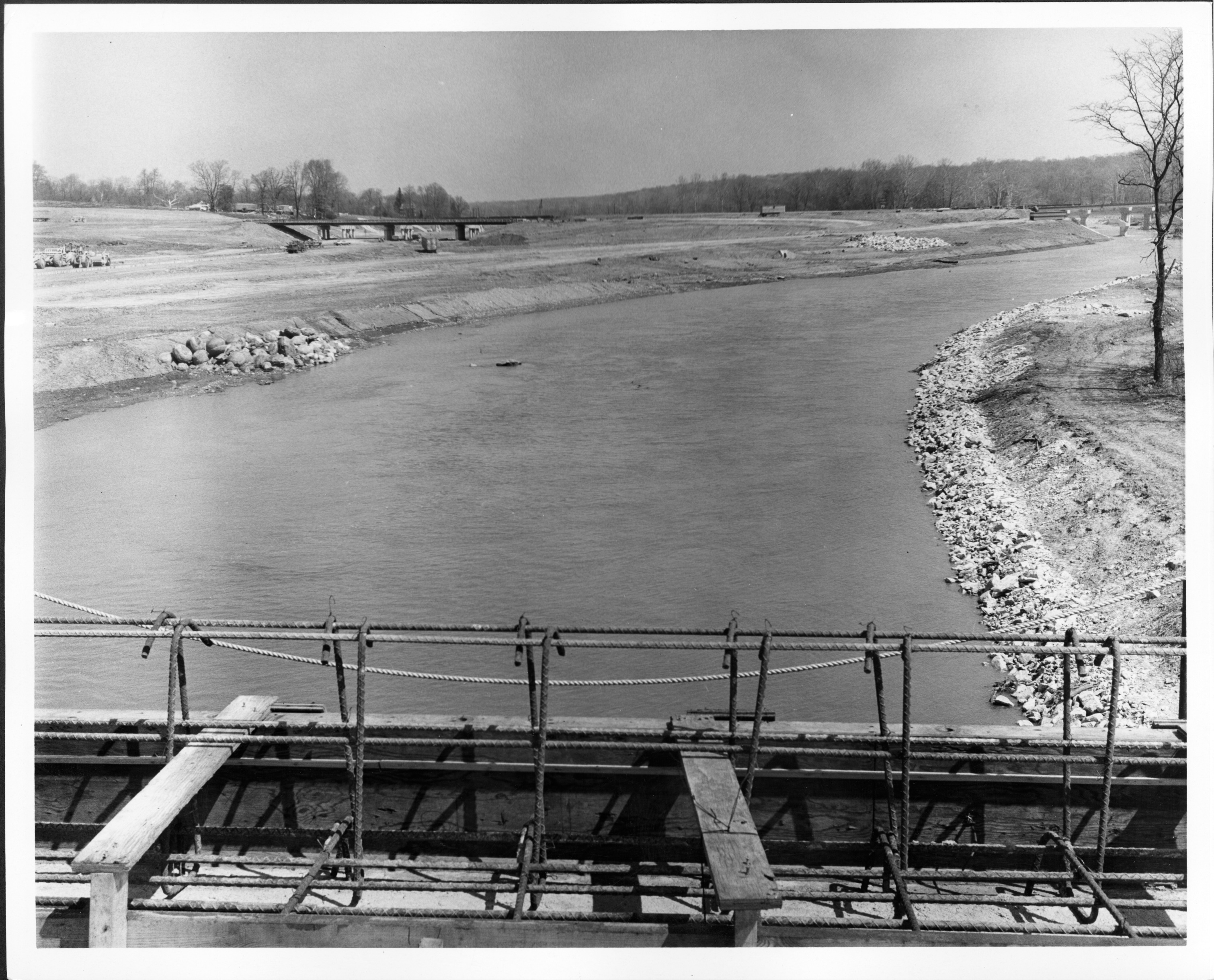
This view of the Olentangy River looking north was captured following the diversion of the river. When the Interstate 270 outerbelt was extended through northwest Franklin County, it redefined the northern boundary of the City of Worthington. I-270 is visible in the distance.
Subjects
It covers the topics streets and roads and Olentangy River.
It covers the city Worthington.
Record details
This file was reformatted digital in the format video/jpeg.
The Worthington Memory identification code is cow0066.
This metadata record was human prepared by Worthington Libraries on . It was last updated .


