Aerial View of Worthington

Basic details
Aerial View of Worthington is an image, with genre photograph.
Its dimensions are 4 in. x 5 in..
It was created around 1968-1972.
City of Worthington is the creator.
You can find the original at City of Worthington.
Background
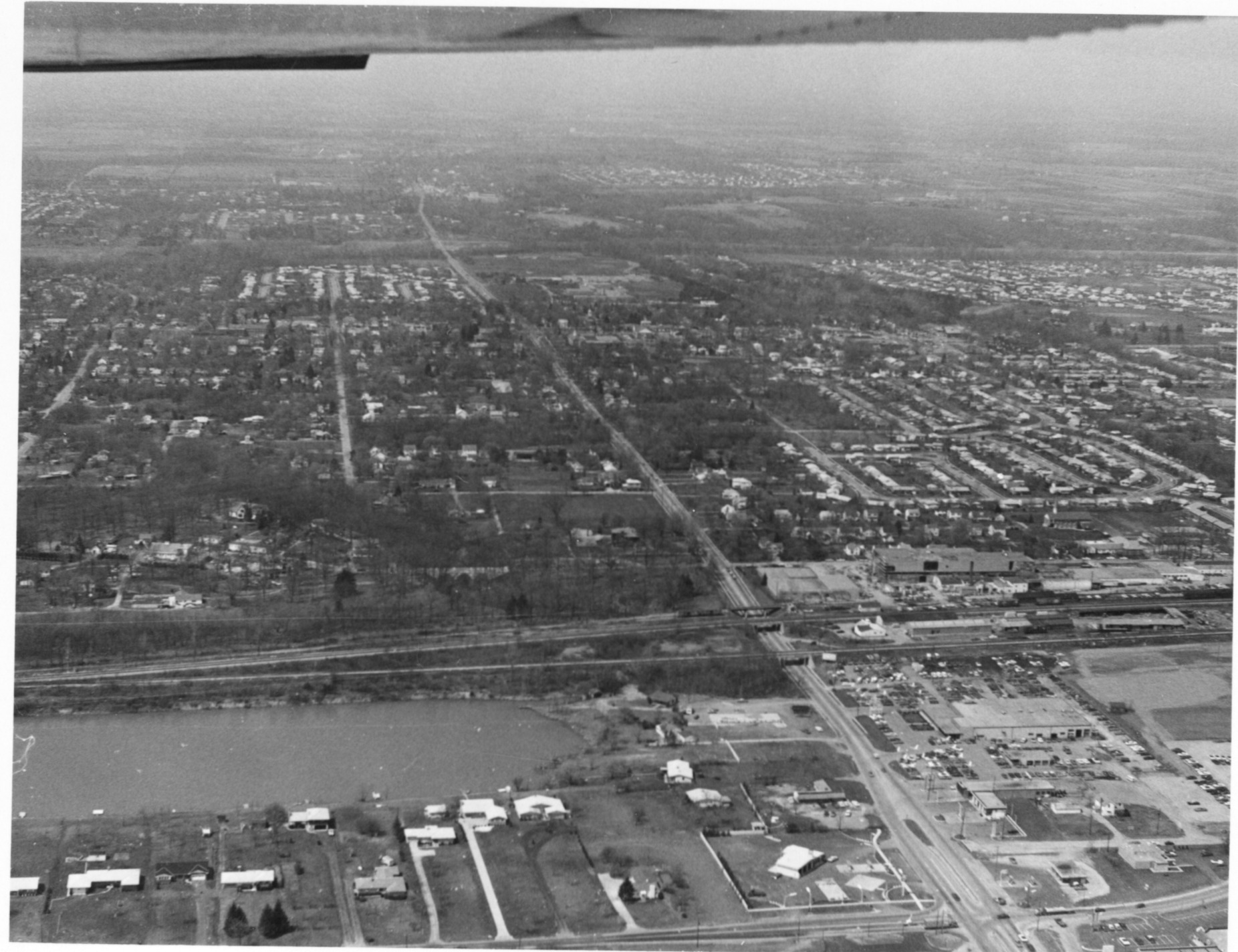
Bob Poste Lake is visible in the lower left portion of this view, looking west up Granville Road (Rt. 161) from Sinclair Road. The Harding Hospital campus is visible just beyond the railroad (left) and Worthington Foods to the right.
Subjects
It covers the city Worthington.
It features the addresses 800 Proprietors Road and 413 E. Dublin-Granville Road.
Record details
This file was reformatted digital in the format video/jpeg.
The Worthington Memory identification code is cow0072.
This metadata record was human prepared by Worthington Libraries on . It was last updated .


