Aerial View of Worthington

Basic details
Aerial View of Worthington is an image, with genre photograph.
Its dimensions are 4 in. x 5 in..
It was created around 1968-1972.
City of Worthington is the creator.
You can find the original at City of Worthington.
Background
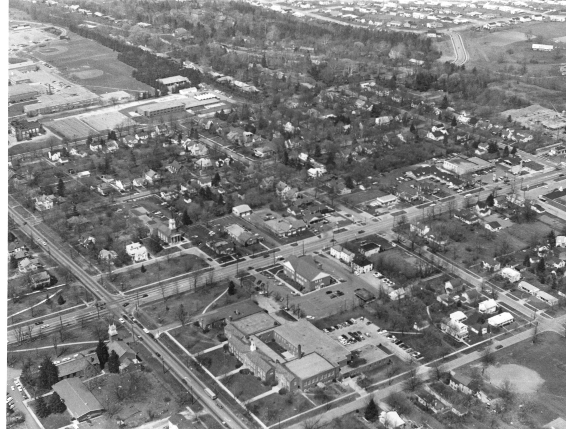
The Village Green and north blocks of Old Worthington are shown, looking northwest. Kilbourne Middle School is visible in the foreground with residential buildings behind it. The Old Worthington Library now stands on the site.
Subjects
It covers the topics streets and roads and neighborhoods.
It covers the city Worthington.
It features the addresses 700 High Street, 50 E. Dublin-Granville Road, 773 High Street, Village Green NW, Village Green NE, Village Green SE and Village Green SW.
Record details
This file was reformatted digital in the format video/jpeg.
The Worthington Memory identification code is cow0075.
This metadata record was human prepared by Worthington Libraries on . It was last updated .


